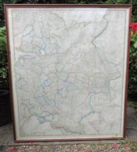
JAS WYLD THE RUSSIAN DOMINIONS IN EUROPE MAP c1850June 29, 2022


 GOOD VICTORIAN MAHOG...£1,950.00
- GEORGE JONES MAJOLIC...£235.00


JAS WYLD THE RUSSIAN DOMINIONS IN EUROPE MAP c1850
£425.00
SKU: 1736
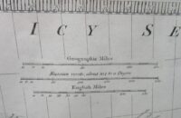
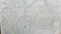
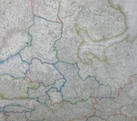
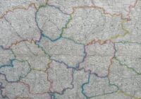
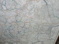
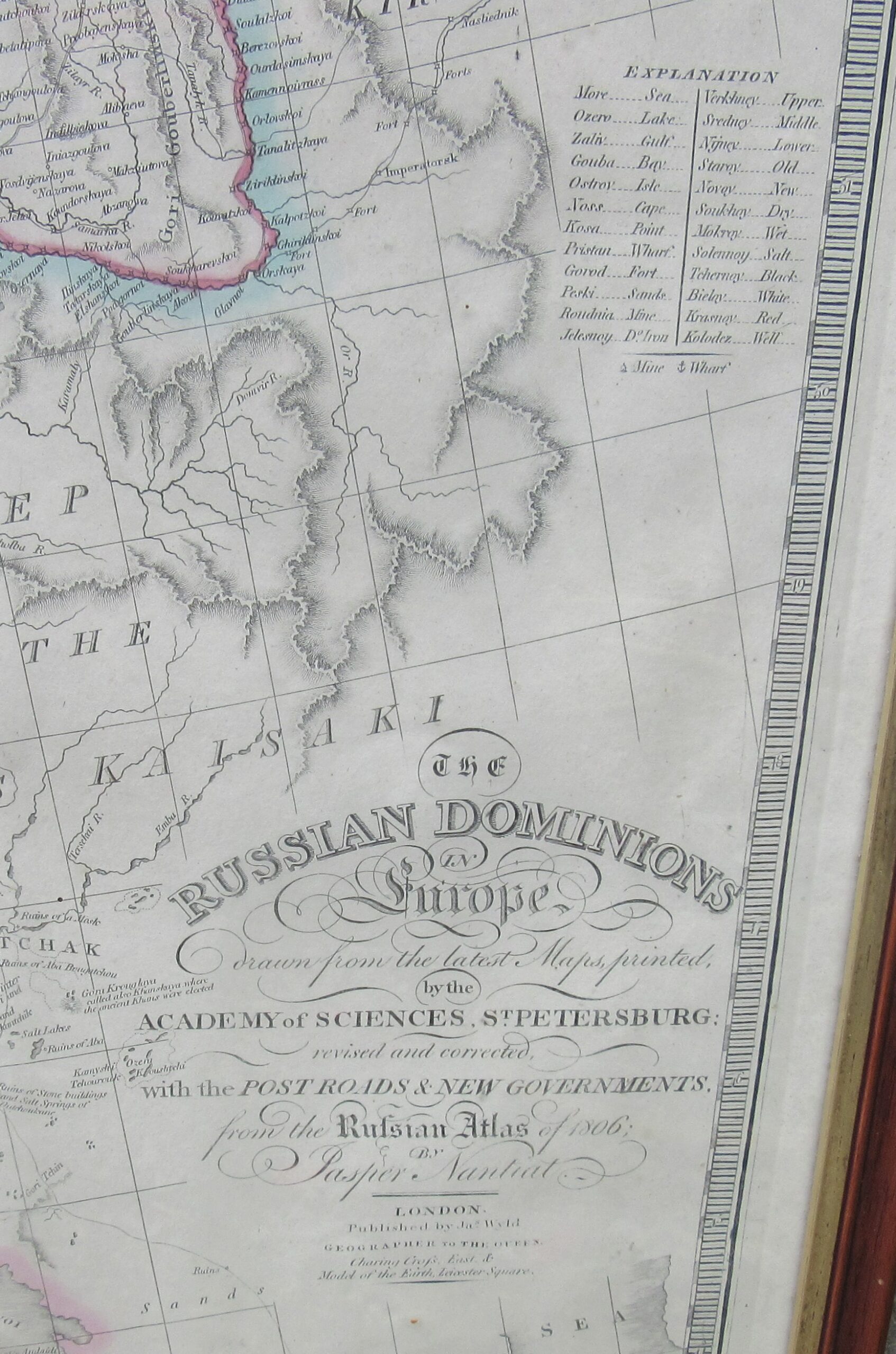
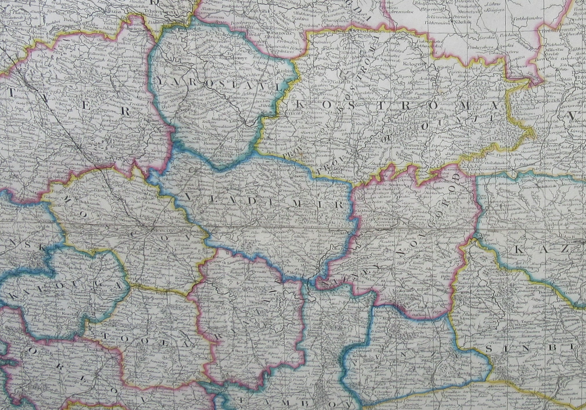
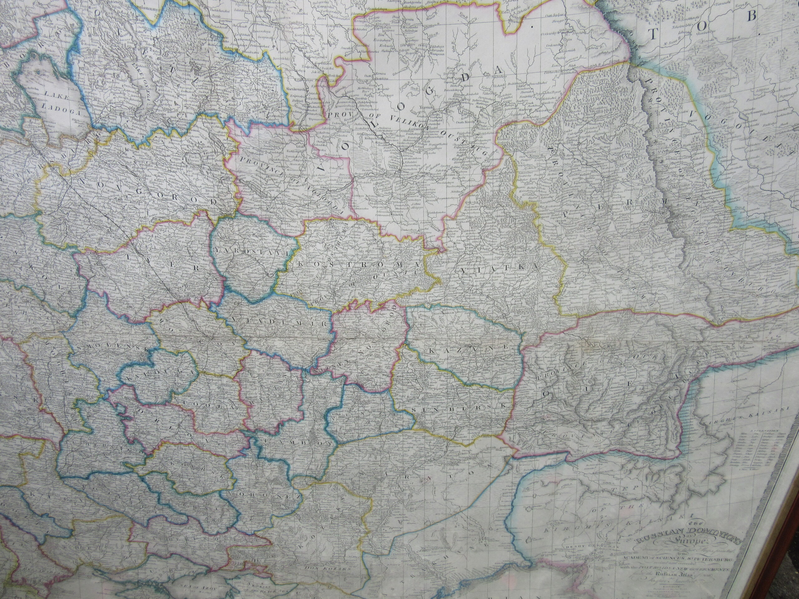
This Framed Antique Map, in two sheets, is entitled:
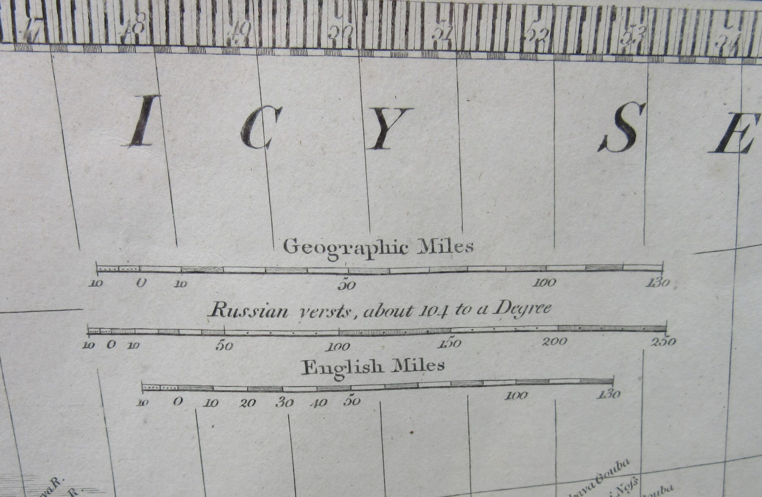
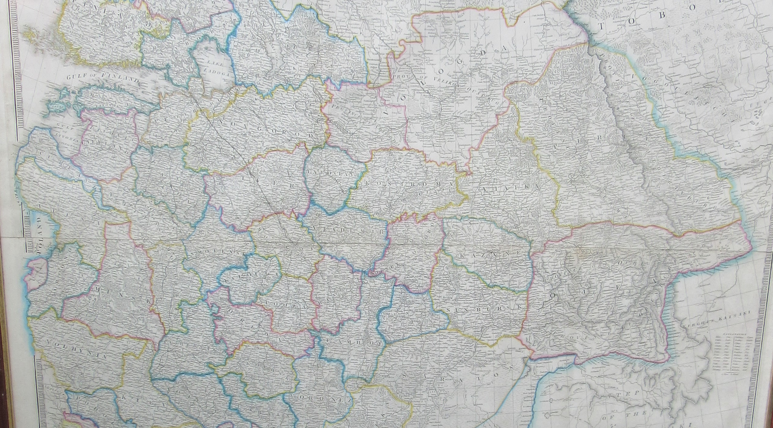
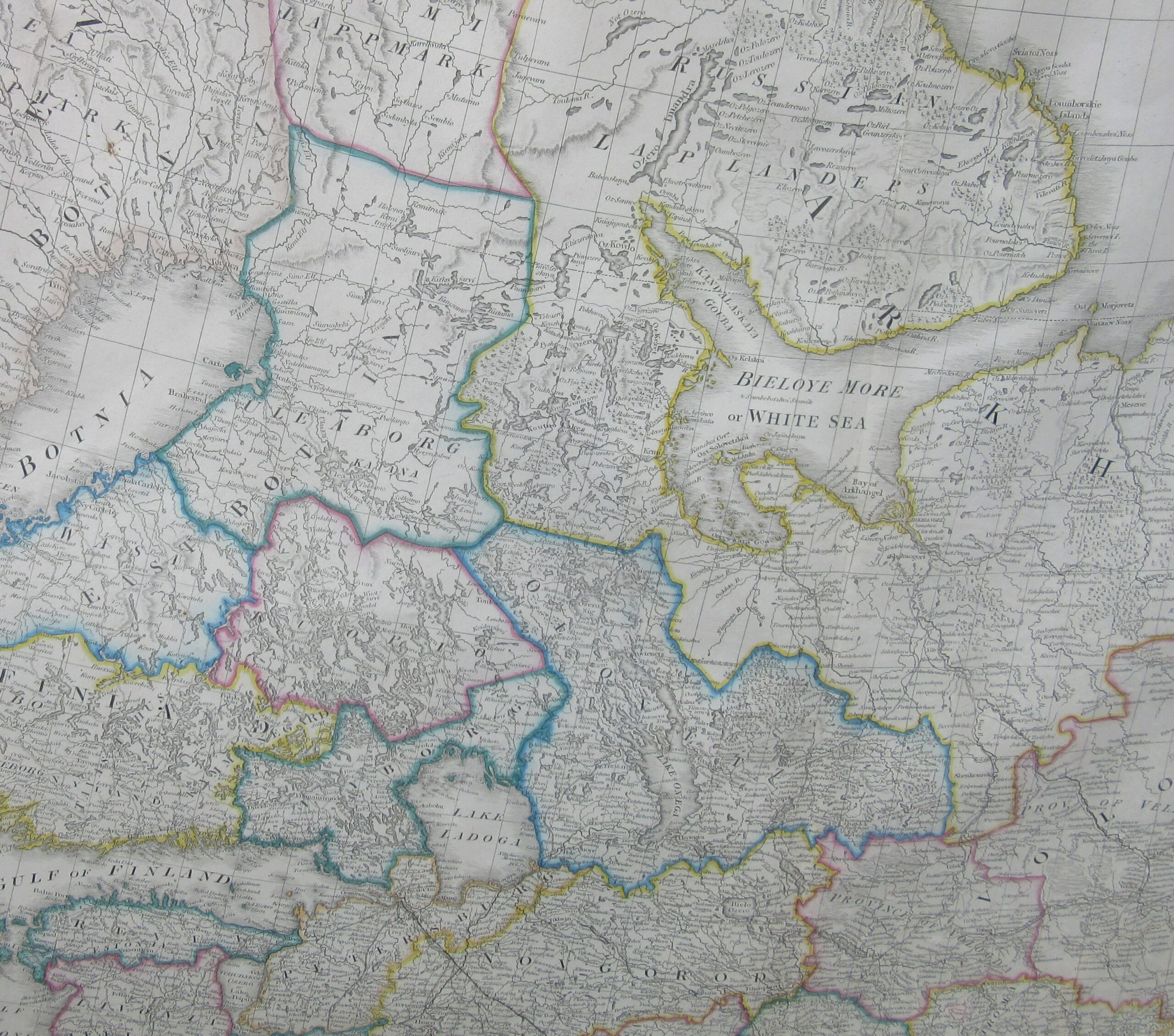
‘The Russian Dominions in Europe drawn from the latest Maps printed by The Academy of Sciences, St. Petersburg. Revised and Corrected with the Post Roads and New Government from the Russian Atlas of 1806 by Jaspar Nantiat. London Published by Jas Wyld, Geographer to The Queen, Charing Cross East and Model of the Earth, Leicester Square’. It dates from circa 1850/60.
It has Fold Lines as expected and is in overall good condition.
Dimensions of Frame:
Height: 46 inches (117 cm)
Width: 46 inches (117 cm)
Please email shaun@shaunkingantiques.com for further details.
You may also like
-
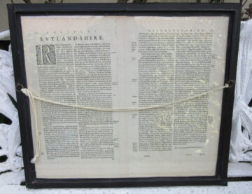
17th CENTURY RUTLANDIA COMITATUS HAND-COLOURED MAP OF RUTLAND SHIRE
£285.0017th CENTURY RUTLANDIA COMITATUS HAND-COLOURED MAP OF RUTLAND SHIREApril 5, 2019
Related Antiques
-
LARGE FRAMED VICTORIAN NEEDLEWORK TAPESTRY
£625.00LARGE FRAMED VICTORIAN NEEDLEWORK TAPESTRYSeptember 12, 2019 -
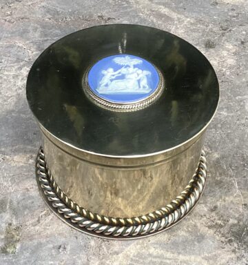
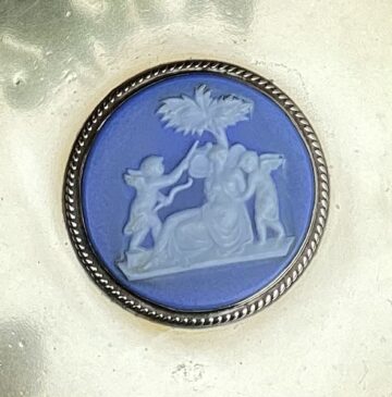
UNUSUAL VICTORIAN BRASS JEWELLERY BOX
£385.00UNUSUAL VICTORIAN BRASS JEWELLERY BOXFebruary 23, 2023 -
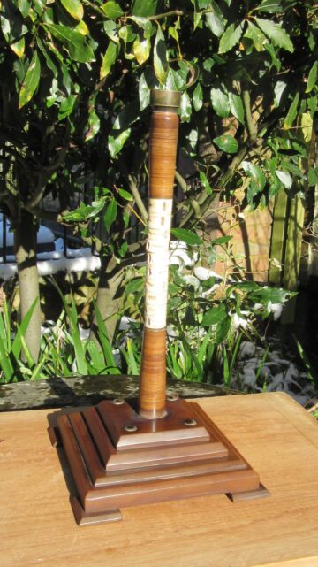
1920s HORN & SHARK’S VERTEBRAE TABLE LAMP
£485.001920s HORN & SHARK’S VERTEBRAE TABLE LAMPFebruary 10, 2021 -
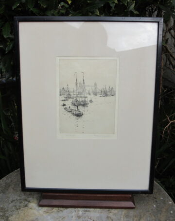
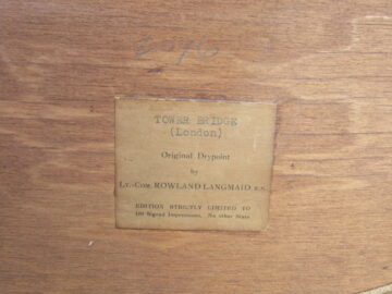
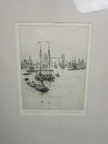
ROWLAND LANGMAID DRY POINT ETCHING ‘TOWER BRIDGE’
£585.00ROWLAND LANGMAID DRY POINT ETCHING ‘TOWER BRIDGE’February 6, 2018